
McKee Covered Bridge

McKee Covered Bridge - September 2025
McKee Covered Bridge
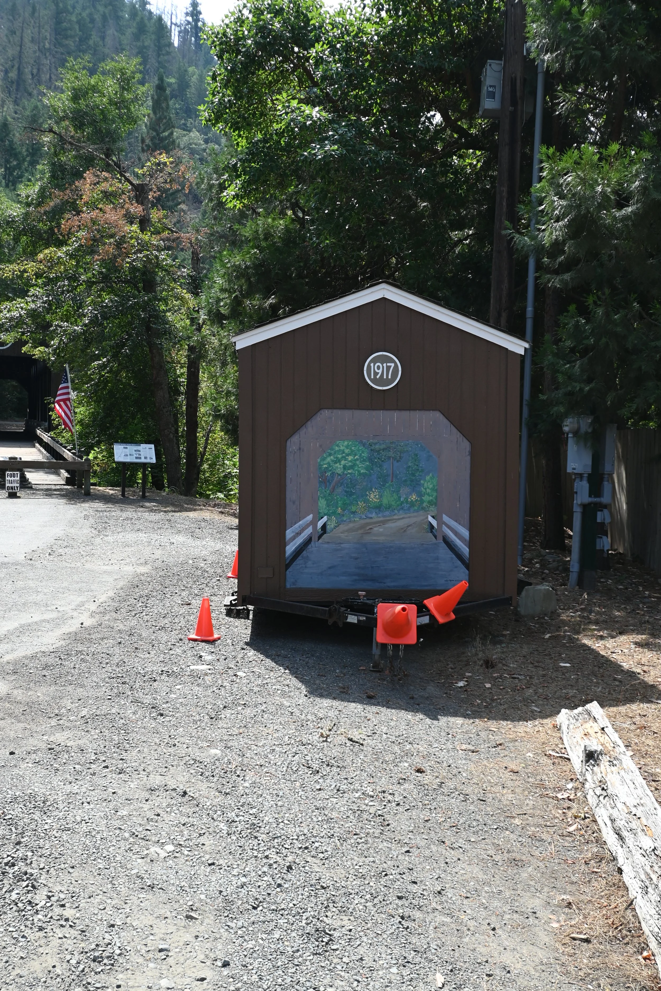
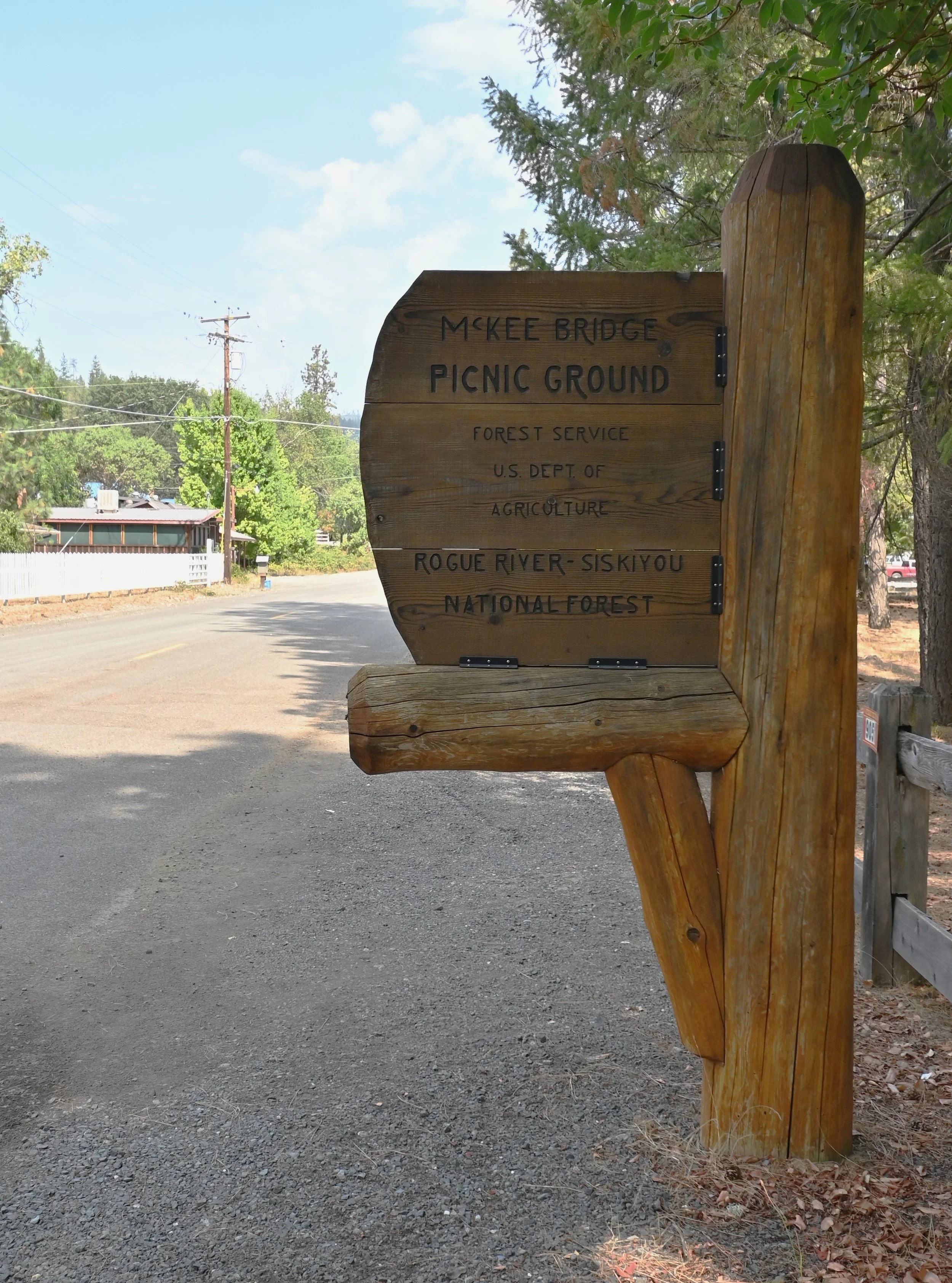
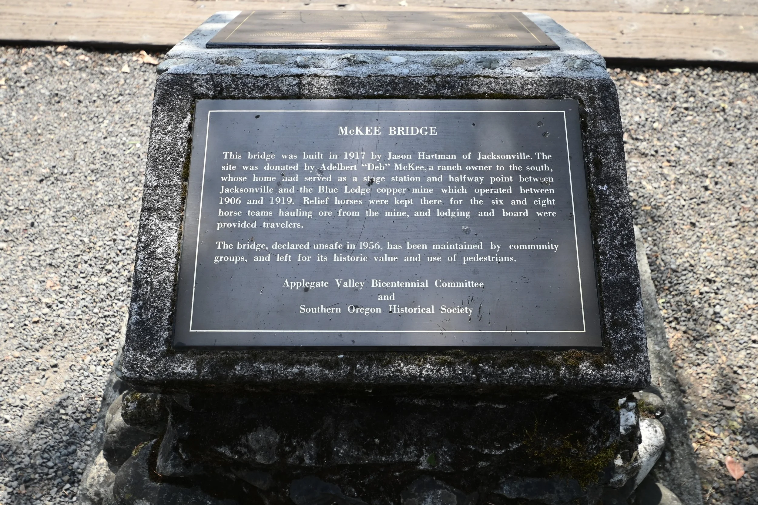
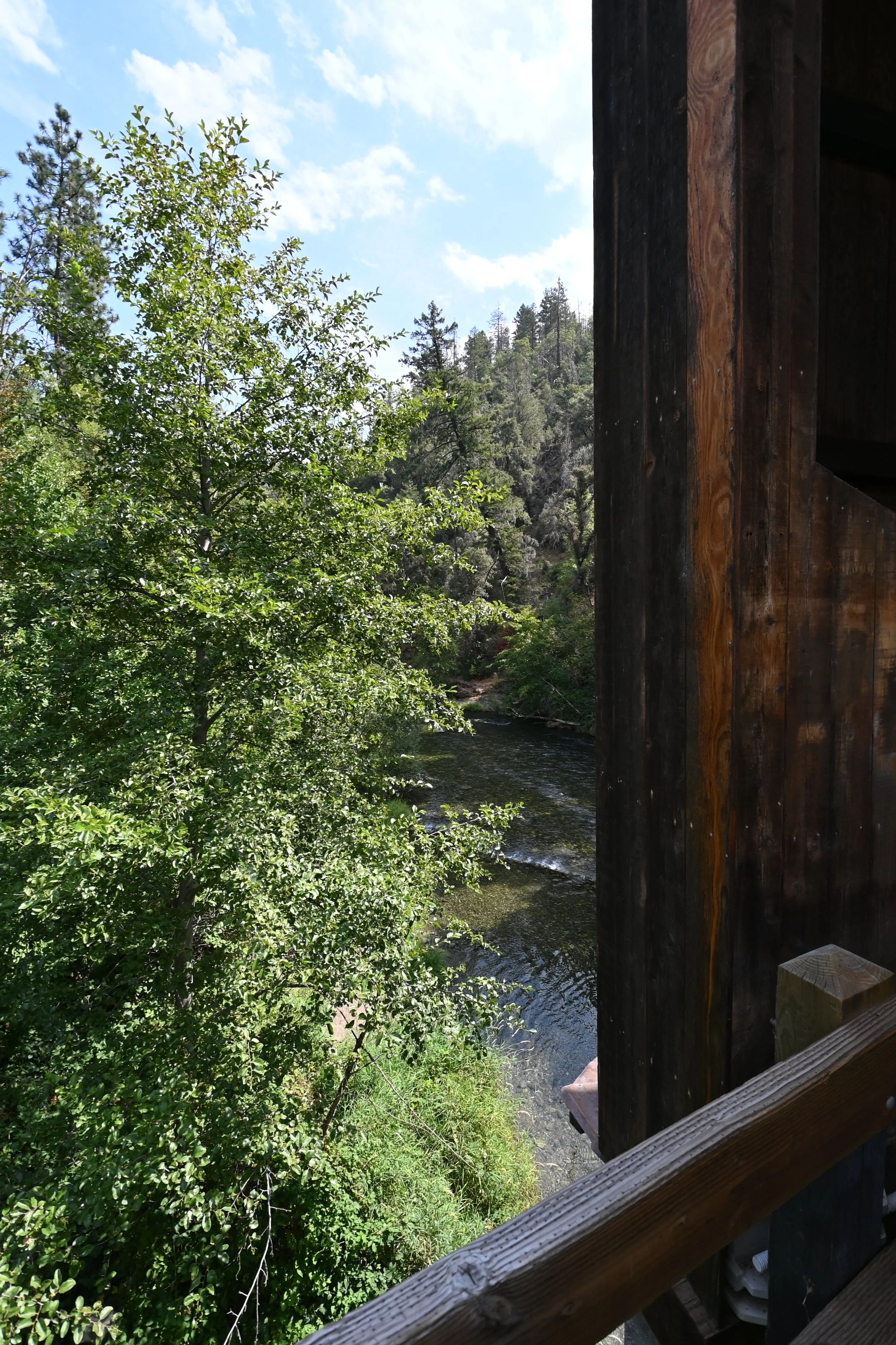
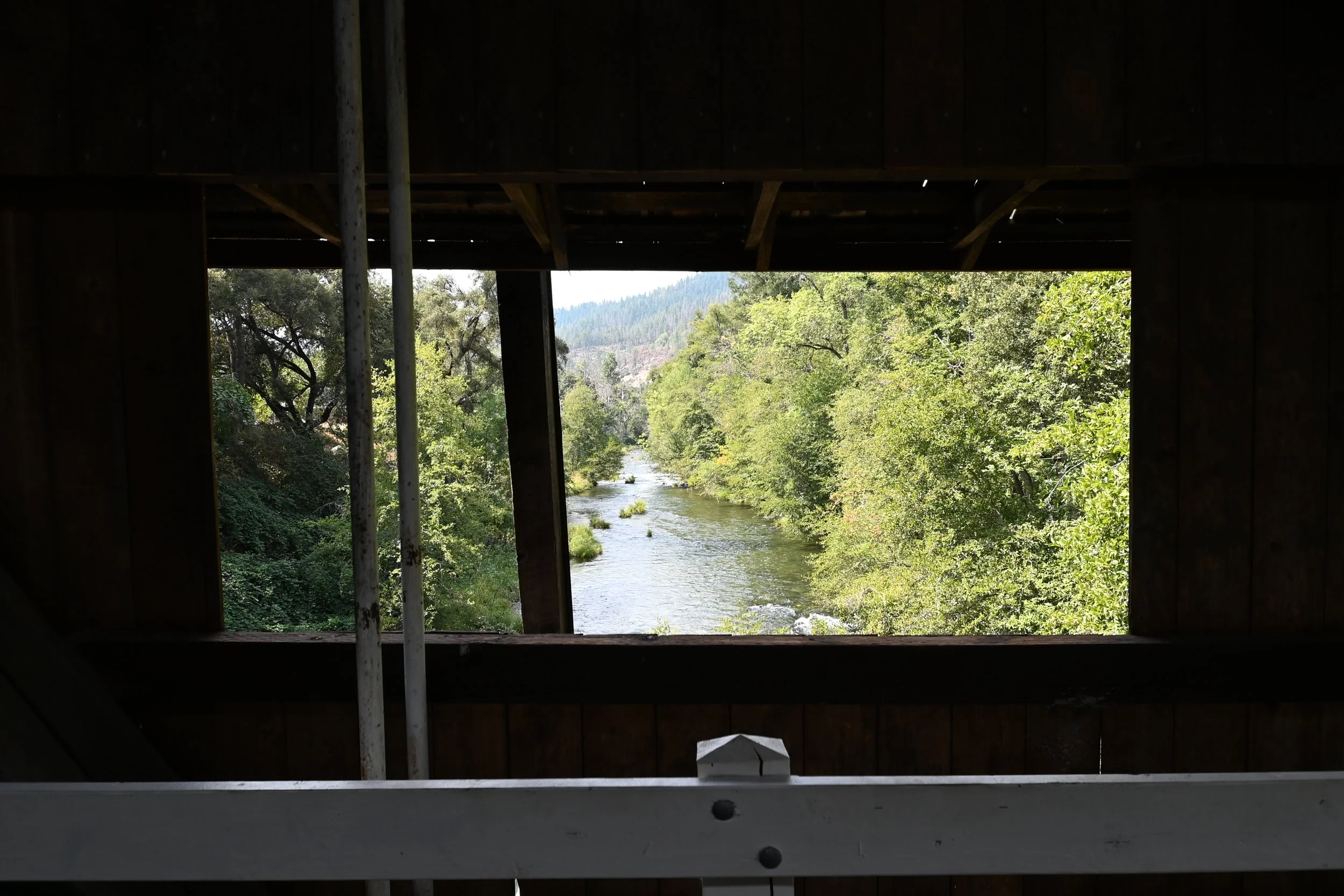
McKee Covered Bridge was built in 1917. The 122-foot Howe truss covered bridge was closed to traffic in 1956. It is lovingly maintained by volunteers. The McKee Picnic Ground is a Rogue National Forest facility and is adjacent to the bridge.
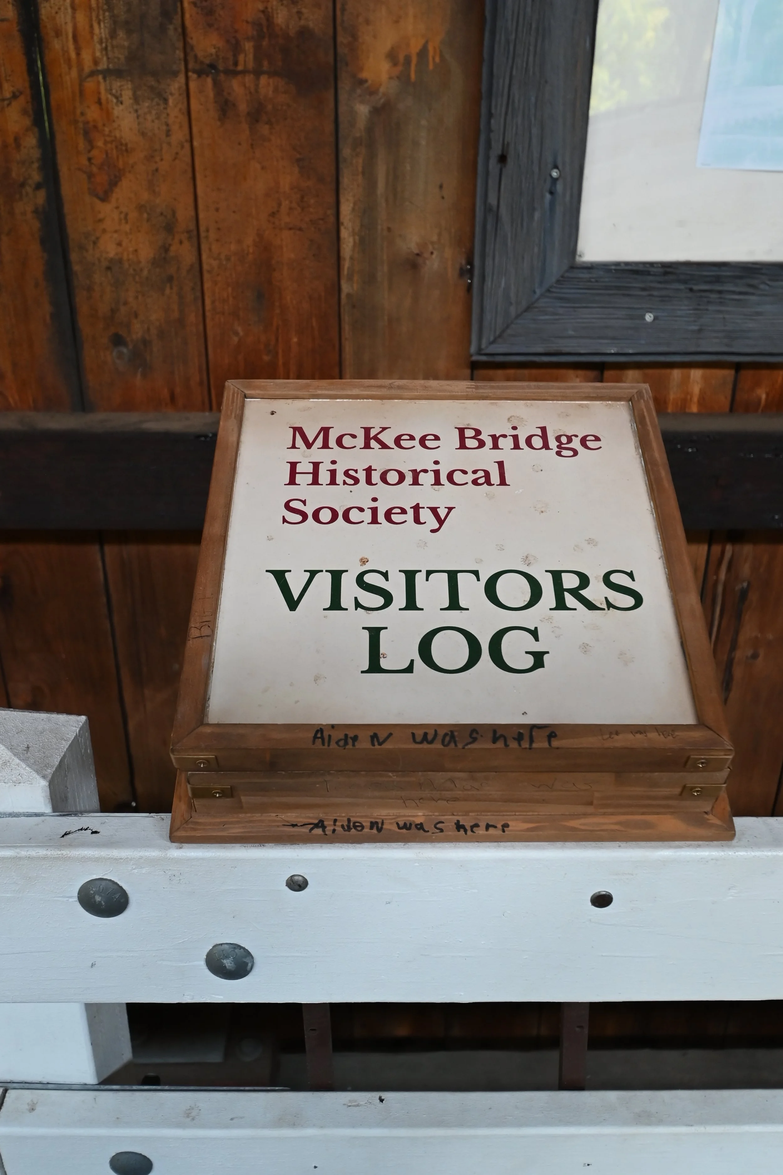
The McKee Bridge Historical Society hosts a variety of events; including holiday decorations. The society has collected a tremendous amount of history, images and stories. Such as a 1927 flood that took out the approach and dislodge the siding. Students scaled a 40-plus foot ladder from the river bank to cross the bridge. Please visit their website and support their mission to maintain the bridge.

Open Range
The bridge is located west of Jacksonville, Oregon. About ten or so miles outside of Jacksonville I saw a sign yellow Open Range sign. I was not familiar with the sign and made an assumption. Luckily, I was the only one in the car and will not admit my notion. Both McKee and Lost Creek Covered Bridges features Open Range areas. The second Open Range sign included an image. Any guesses? See the Covered Bridge Key for the answer.


Message Planks
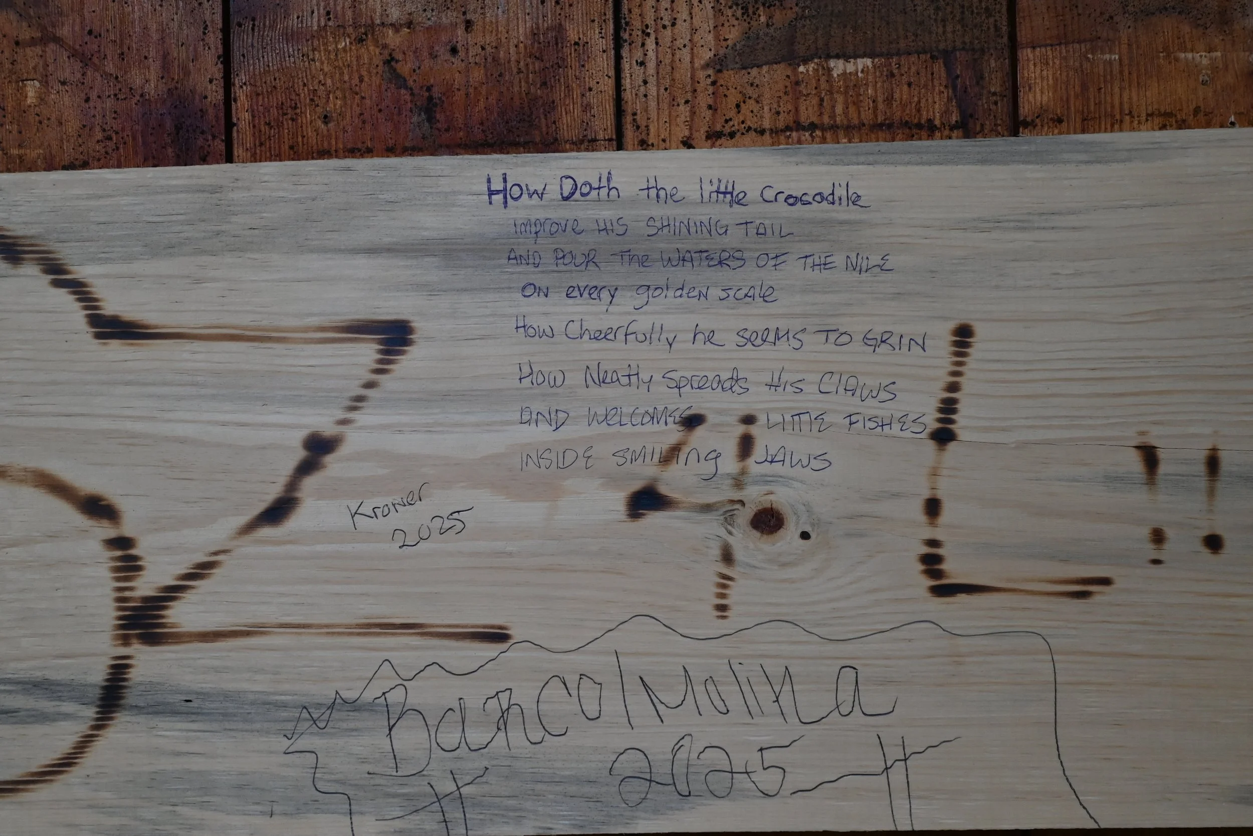
The bridge features message planks designed to allow visitors to write or draw on the interior of the bridge without vandalizing the original structure. Someone wrote How Doth the Little Crocodile by Lewis Carroll from his 1865 novel Alice’s Adventure in Wonderland. The beauty of covered bridges is that each one is a travel adventure to a lovely land of wonder.
How doth the little crocodile
Improve his shining tail
and pour the waters of the Nile
On every golden scale.
How cheerfully he seems to grin.
How neatly spreads his claws
and welcome little fishes
inside smiling jaws.
Covered Bridge Key
♿Accessible Parking
🚻Facilities - A bathroom is available.
👟Inactive Bridge
🅿️Parking available - Covered bridge is connected to parking.
🧺The location is ideal for a picnic.
🦌🐮Watch out for deer on the road and cows.
🗺️Limited internet. Travelers will want an old school map such as a DeLorme Atlas